Compact Weather Radar
Simplified installation combined with high-precision coverage and excellent spatial resolution
ELDES s.r.l. manufactures compact weather radars. Their reduced cost, reliability and ease of maintenance and installation are key features of the compact radar design.
Compact X-Band radars are valuable tools for real-time monitoring of atmospheric phenomena in areas with complex topography, in urban regions, or for filling blind spots in existing radar networks.
When applied in a cluster system, these radars provide redundancy against failures or maintenance downtime and extend coverage areas, allowing data integration in mosaic form.
They can be used for monitoring hydrological basins, roads, airports and ports; severe weather events for civil protection purposes; hazardous events with potential impact on agriculture; and weather conditions affecting outdoor activities, sports and more.
Download catalogues
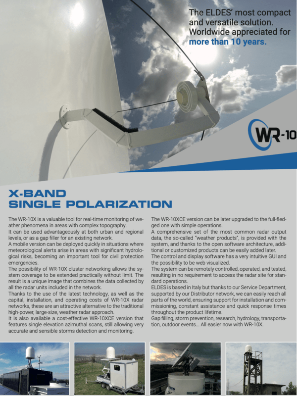
WR-10X Radar
A low-cost solution for multiple applications.
Equipped with a magnetron transmitter and single polarization, this radar represents an excellent cost-effective option for filling shadow areas of other radars and for micro-localization, such as monitoring events in urban areas.
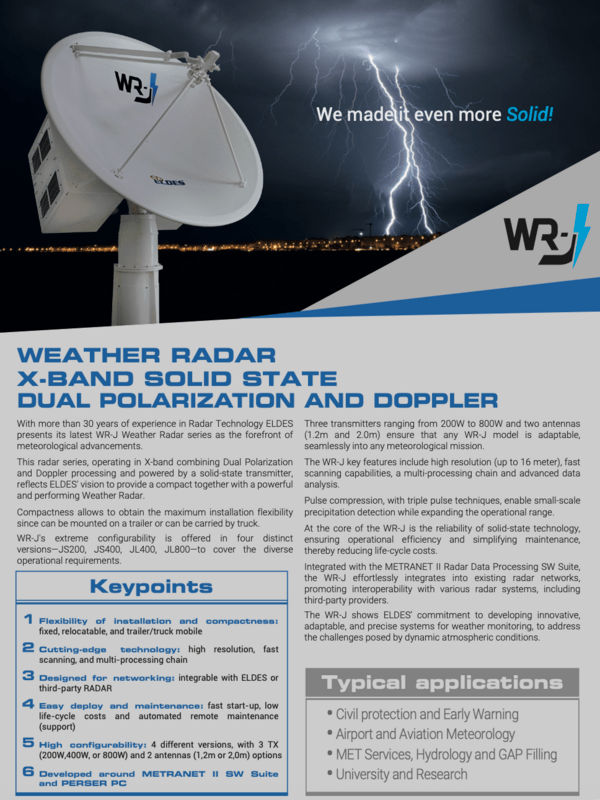
WR-J Radar
A compact solution offering excellent performance for applications with high demands on data quality.
This Doppler radar features dual polarization and solid-state transmitters, with a range of power and beamwidth options to accommodate different requirement levels for severe weather monitoring, nowcasting, hydrology, and more.


